GSA 2012: Terrestrial Laser Scanning (Ground-Based LiDAR) Methods and Applications in Geologic Research & Education
2012 Geological Society of America Short Course - Sun., 4 Nov., 2012
Terrestrial Laser Scanning (Ground-Based LiDAR) Methods and Applications in Geologic Research & Education
Instructors: David Phillips and Christopher Crosby, UNAVCO; Carlos Aiken, The University of Texas at Dallas
Course Description: Terrestrial Laser Scanning (TLS), a.k.a. ground-based LiDAR, workflows and best practices for the acquisition and processing of TLS data, an overview of various TLS platforms, and examples of science and education applications. This 1-day workshop will consist of lectures and hands-on application of TLS equipment and data processing. TLS provides very high-resolution images over relatively small areas, is relatively inexpensive to acquire, and has been used successfully to support a wide range of geoscience investigations from outcrop mapping to deformation monitoring.
Presentations (attached at bottom of the page):
2012 Geological Society of America Short Course - Sun., 4 Nov., 2012
Terrestrial Laser Scanning (Ground-Based LiDAR) Methods and Applications in Geologic Research & Education
Instructors: David Phillips and Christopher Crosby, UNAVCO; Carlos Aiken, The University of Texas at Dallas
Course Description: Terrestrial Laser Scanning (TLS), a.k.a. ground-based LiDAR, workflows and best practices for the acquisition and processing of TLS data, an overview of various TLS platforms, and examples of science and education applications. This 1-day workshop will consist of lectures and hands-on application of TLS equipment and data processing. TLS provides very high-resolution images over relatively small areas, is relatively inexpensive to acquire, and has been used successfully to support a wide range of geoscience investigations from outcrop mapping to deformation monitoring.
Presentations:
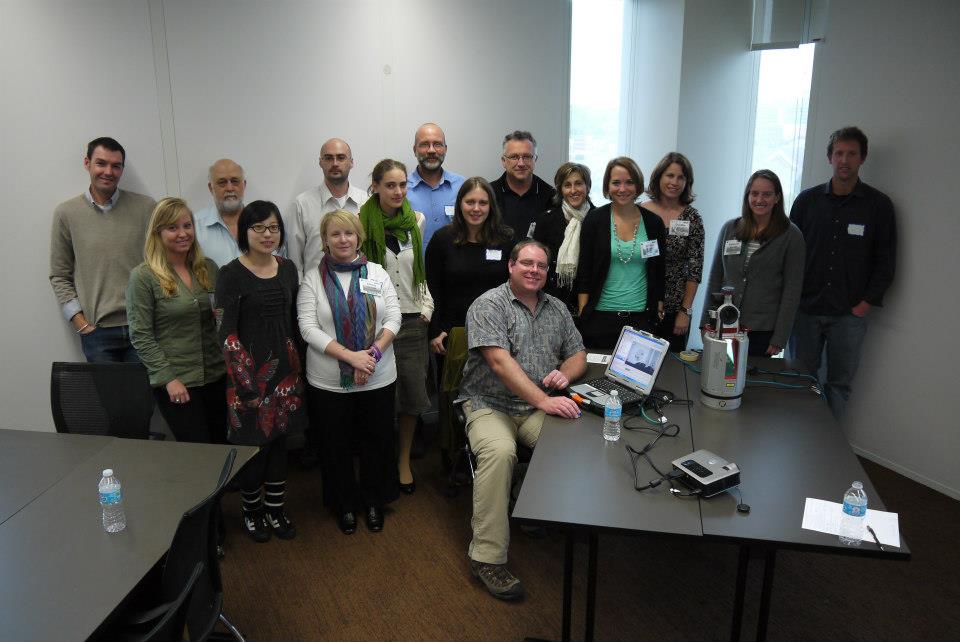
Group Photo:

- Introduction to TLS and Applications (Phillips)
- Introduction to TLS data collection and processing (Crosby)
- UNAVCO TLS support resources, community lidar resources, future directions (Crosby)
Group Photo:

)