UNAVCO Resources: Campaign and Kinematic GPS/GNSS
This page covers resources for GPS/GNSS surveys with portable equipment and includes static, rapid static/fast static, or kinematic data collection. UNAVCO can supply the full range of equipment, training, and field support for these surveys. Training may be provided at UNAVCO prior to the field project, or on-site at the beginning of a project. Technical support provided by UNAVCO included field engineering staff, custom tailored training to research field teams, technical consultation, software, and documentation.
UNAVCO maintains a pool of GPS/GNSS receivers and ancillary equipment available for community use. Investigators funded by NSF-GEO, NSF-OPP, and NASA receive the highest priority. This section contains an overview of the equipment and other resources available.
Working with UNAVCO
UNAVCO Campaign Investigator's Manual
General information, UNAVCO support procedures for both proposal preparation and field project data collection, and technical planning outlines for large scale GPS/GNSS projects.
UNAVCO Equipment Loan Agreement
Outlines the terms and responsibilities of borrowing equipment from UNAVCO; required to be filled out by the P.I. or designated project representative prior to borrowing UNAVCO equipment.
Planning a Campaign Survey
For a complete overview of executing a campaign survey from start to finish, check out our UNAVCO Campaign GPS Handbook:
Online resources are listed below.
Survey Style
A summary with brief explanations and comparisons of continuous, static, rapid/fast static, and post-processing and real-time kinematic data collection. Scientific needs and logistics will drive the survey style used.
Monumentation and Mounts
UNAVCO Resources: GNSS Station Monumentation
Geodetic monuments for GPS campaigns ensure that the surveyed point is directly coupled to the medium to be studied (e.g. solid earth, glacier ice). The marks are typically flush or near the surface for stability, minimal visibility, security, and low cost.

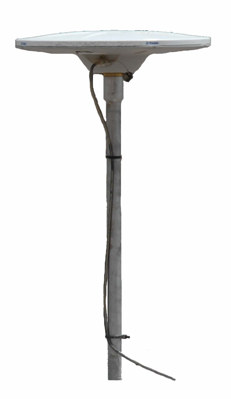
UNAVCO Resources: GNSS Antenna Mounts
An antenna mount is used to temporarily mount the GPS/GNSS antenna above the monument. Mounts include tripods, spike mounts, leveling mounts, or monument-specific mounts. In every case, the antenna must be precisely centered and leveled, and the antenna height above the monument must be measured or known.
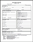
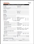
Survey Documentation Forms
General How-tos
GPS/GNSS Campaign Kits Available
Click on links below to learn more about each system and for access to equipment-specific campaign resources such as software and how-tos.
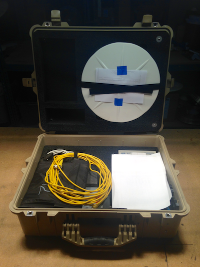 |
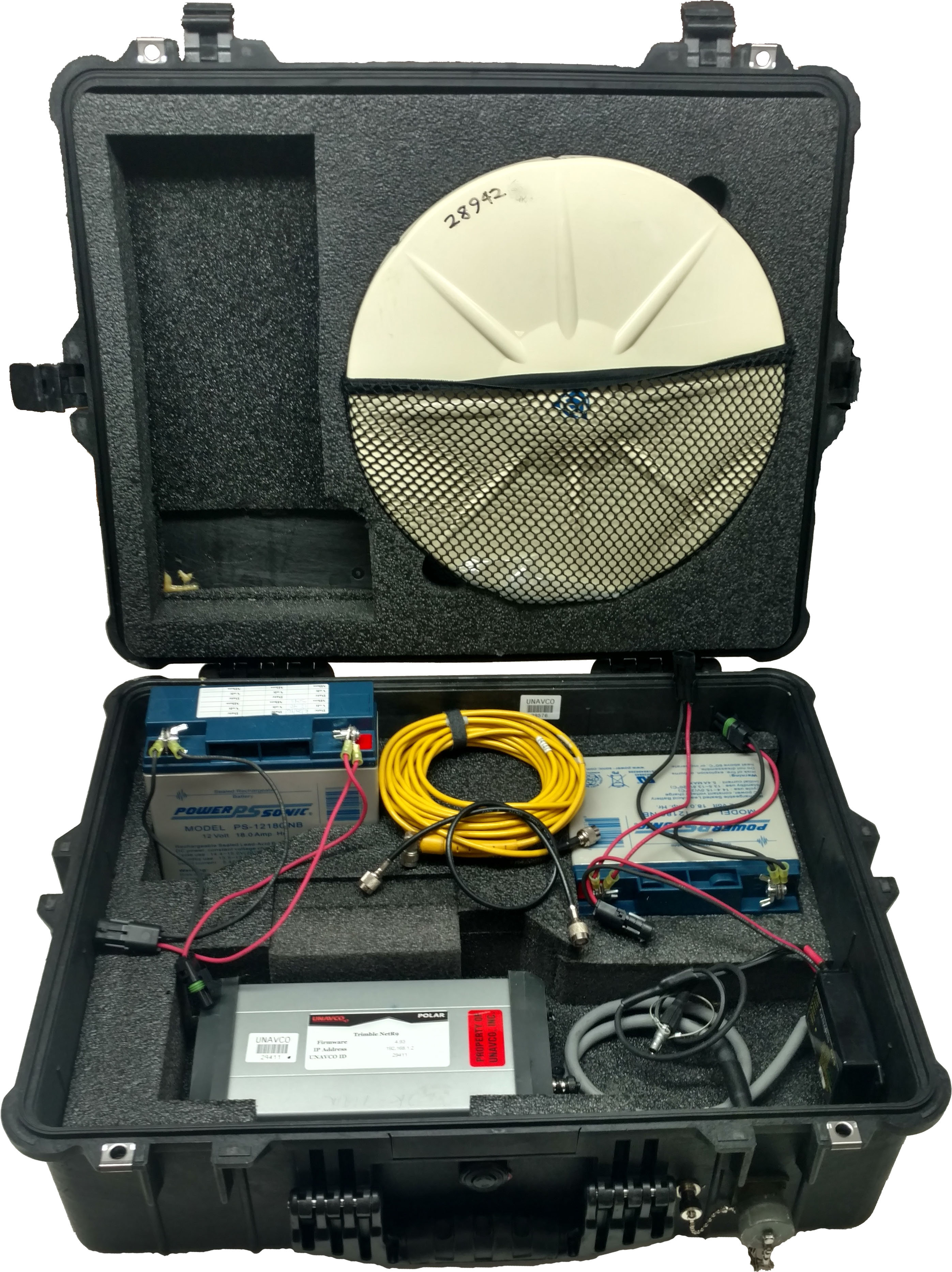
UNAVCO Trimble NetR9/R8 Campaign Kit | UNAVCO's Trimble NetR9/8 campaign kit is ideal for long-term campaign installations but works for short-term installations as well. The NetR9/8 receiver can be accesses via a user friendly HTTP interface; data can be downloaded via FTP. A storage capacity of 8 GB allows ample room for years of data at a 15 second sample rate. Priority is given to NSF EAR-funded projects. Antenna mounts must be requested separately. |
 |
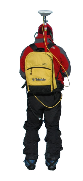
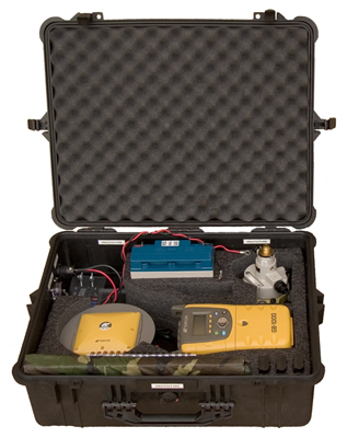
Polar Style Trimble NetR9 Campaign Kit | UNAVCO Polar Services provide campaign kits suitable for Polar environments. These kits are designed for use with a Trimble NetR9 and R7 receivers and a Zephyr Geodetic GPS or GNSS antenna. The Polar campaign kit can be used for long summer deployments of weeks or months and installed on rock or snow/ice. Bulkheads for solar, antenna cable, and RTK radios allow for rapid deployment and the weathertight case is suitable for cold and snowy environments. The system be used with various solar configurations, monuments and antenna mounts. Maximum weight of the kit is approximately 50 lbs. |
 |
Topcon GB-1000 Campaign Kit | UNAVCO maintains 100 Topcon campaign GPS systems in order to support portable GPS deployments funded by the NSF’s EarthScope Science panel. The systems have been designed for stand-alone temporary or semi-permanent deployment that will be used for densifying areas not sufficiently covered by continuous GPS and for responding to volcanic and tectonic crises. Six of the 100 systems are equipped with real-time kinematic (RTK) capability for such uses as rapid fault mapping and GIS-based geologic mapping. For EarthScope campaigns only. Antenna mounts must be requested separately. |