Trimble Geomatics Office™ software integrates real-time kinematic (RTK), post-processed GPS and conventional survey data. Designed for ease of use, high productivity and quality control, the software imports, checks, and processes field data. The data is stored in Microsoft Access database format for easy customized access, reporting, and editing.
Trimble Geomatics Office software provides a seamless link between field collected data and third party design, CAD, and GIS packages. Data can be exported to a wide variety of standard data formats. Road and construction site designs created using other software can be easily imported and transferred to the Trimble Survey Controller™ or Trimble Survey Pro field software for stakeout.
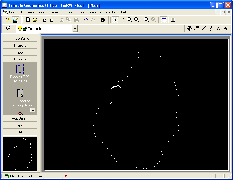
Trimble Geomatics Office software includes WAVE baseline processing and network adjustment as well as powerful features for adding line work, text, and annotations to projects. Full editing, layer annotation, and plotter support are also included. The software also provides the tools for creating GIS feature and attribute lists for high accuracy GIS data collection.
Features:
Fully integrated GPS and conventional data processing
WAVE baseline processing
Network adjustment
Roadlink and DTMLink
QA / QC
HTML Reports
DXF and ASCII input; DXF; ASCII, DWG, Arcview, MapInfo, Softdesk Fieldbook, and custom format output
Land XML support
Comprehensive, editable worldwide coordinate system definitions included
Visit the Trimble Geomatics Office web page for more information.
Article ID: 642
Created: March 11, 2010
Last Updated: March 11, 2010
Author: Beth Bartel
Online URL: https://kb.unavco.org/article/processing-software-summary-trimble-geomatics-office-642.html